によって書かれた Alastair Begley on
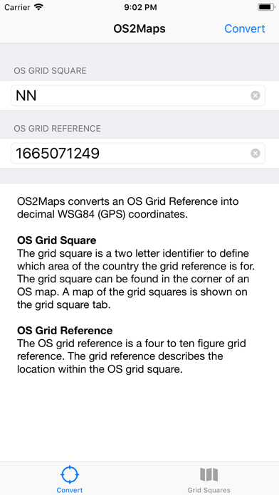

1. This is useful for situations such as when a start location for a walk is provided in OS grid format as this enables Microsoft or Google Maps to be used to navigate to the start easily.
2. Following conversion the app enables the location to be opened easily in Microsoft or Google Maps.
3. Convert UK Ordinance Survey grid references into standard GPS latitude and longitude.
 PcMac Store