Geschrieben von Jeff Maynard on

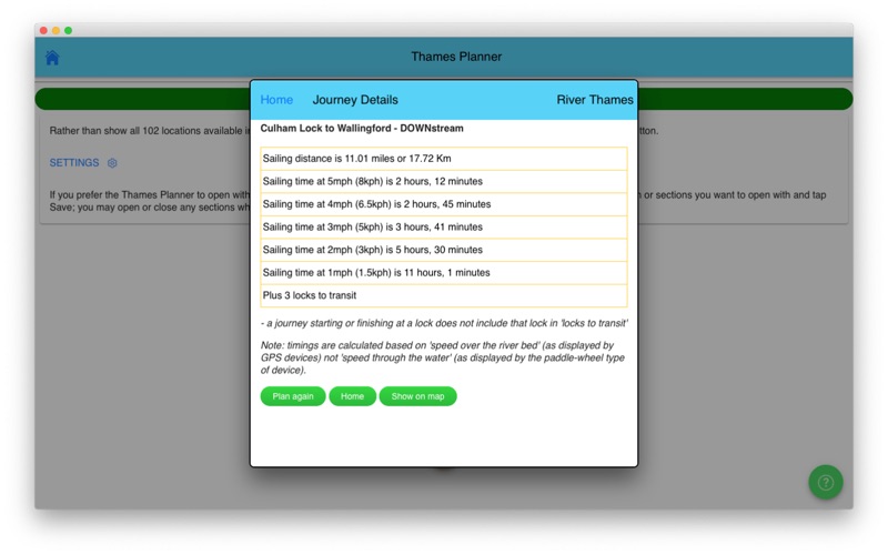

1. JOURNEY PLANNER: select a starting point and destination from the supplied list of 102 landmarks (including locks, marinas, moorings, bridges and places of interest (from Lechlade to the Thames Barrier) and immediately see the sailing distance, direction (up or downstream), sailing time (at 5 mph, 3 mph and 1 mph) and the number of locks to transit to complete your journey; Wey navigation planner features 45 locations.
2. Add any combination of locks, moorings, boatyards, fuel, marinas, pubs, restaurants, lodgings, sanitation, fishing, emergency RVP and/or bridges; tapping any icon pops up further details including phone number, post code, maximum stay etc (where available).
3. IN CASE OF EMERGENCY: River Thames Guide includes an SOS section with information, endorsed by the RNLI, on how to deal with various problems including: Man Overboard; Boat Sinking; Boat on Fire; Boat Drifting.
4. CURRENT RIVER CONDITIONS: for safer river use always verify the current official conditions before setting off; non-tidal conditions are provided by the Environment Agency (the River Thames authority) and categorised as Red, Yellow or Green – tap to view an explanation of the colours.
5. Touch any lock to see much more information including: telephone number; post code; lock type; width, drop and length; lock keeper’s hours; facilities available (such as WC, water, pump out etc).
6. HELP: every page contains tips on using River Thames Guide to help plan your journey, find somewhere to eat or stay, using the map, and more.
7. LOCK FEATURES: every Thames lock is listed in order from Cricklade Bridge to Teddington with distance to next lock both up and downstream.
8. The interactive map is built-in to the App so you do not need an Internet connection to see where you are and facilities near you (PLEASE NOTE: this means a large download - please be patient, it’s worth it!).
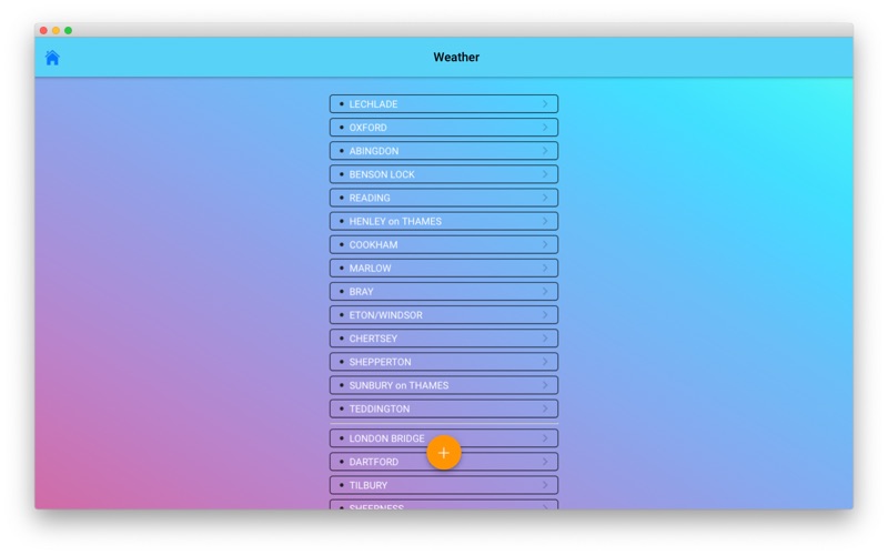
9. WEATHER: select one of 20 location on the river for an up-to-date weather forecast for today and tomorrow (includes temperature, winds, humidity, visibility, sunrise and sunset).
10. BRIDGE HEADWAY: every bridge listed in order with headway in feet and metres; bridge headways are colour coded for ease of use and instant check to see if you need to lower any masts.
11. INTERACTIVE RIVER MAP: pinch or squeeze to zoom to the required level of detail.
Herunterladen und Installieren RiverThamesGuide - PC
Download für PC - Server 1 --> PcMac Store